
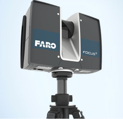
LiDAR allows us to take highly detailed scans for scene documentation!!!
For wildland fire investigation, scanning with Lidar provides for a very specific set of benefits that standard photography and measurement cannot afford. Lidar scanning with software stitching (the ability to meld every view into a single image) provides for point to point measurement across all scans with an accuracy on the order of fractions of an inch at 30 feet out from each scan location. Any point scanned can be measured for comparison when considering data for ignition sequences such as evidence location, spark generation, and flame spread. Evidence items and landmarks can be marked with GPS for comparison to Google Earth and other known landmarks for comparison. Due to the geometry of the entirety of a site being captured with Lidar an investigator can test hypotheses of other experts at later times when revisiting the scene is impractical or impossible.
The software is capable of providing output to modeling software such as Fire Dynamic Simulator used to test hypotheses of fire spread. The output from Lidar is often the only reliable method for creating input data for fire modeling software due to the precision of measurements.
The imaging provided by Lidar is valuable when providing, graphic evidence and descriptive testimony to triers of fact. The ability to look at the landscape of interest from any angle (including aerial views) allows for a more complete description of the fire site and prevents having to match ground photography with outdated satellite or aerial imagery. The software can also be used to map physical evidence, map GPS photography, and provide for video fly-by to simply demonstrate the terrain and areas of interest on the fire scene.
Recent Comments